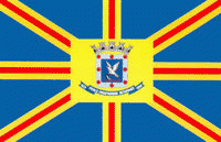
Campo Grande (Campo Grande)
 |
 |
The region where the city is located was in the past a waypoint for travellers who wanted to go from São Paulo or Minas Gerais to northern Mato Grosso by land. In the early 1900s, a railway was completed, connecting Campo Grande to Corumbá on the Bolivian border and to Bauru, São Paulo. Also in the beginning of the 20th century, the Western Brazilian Army Headquarters was established in Campo Grande, making it an important military center.
With a population growth from 140,000 people in 1970 to 750,000 people in 2008, Campo Grande is the third largest urban center of the Center-West region, and the 23rd largest city in the country. In 1977, the State of Mato Grosso was split into two, and Campo Grande became the capital of the new state of Mato Grosso do Sul, comprising the southern portion of the former state. By that time, Campo Grande had long surpassed the latter's capital city of Cuiabá in population, which is unusual in Brazil, where most capitals are also the states' largest cities.
Today, the city has its own culture, which is a mixture of several ethnic groups, most notably immigrants from the Japanese prefecture of Okinawa, Middle Easterners, Armenians, Portuguese people, Germans, Italians, Spaniards, and Paraguayans, finally mixed with Asian and White Brazilians from the Brazilian Southern and Southeast regions, its native Amerindian peoples and Afro-Brazilians.
Campo Grande started as a small village founded in 1877 by farmers José Antônio Pereira and Manoel Vieira de Sousa (a.k.a. Manoel Olivério), who came from Minas Gerais just after the end of the Paraguayan War. They founded the village, known at that time as Santo Antônio de Campo Grande, near the Serra de Maracaju cliffs, at the confluence of two streams named Prosa and Segredo (Portuguese for "conversation" and "secret," respectively), whose courses now coincide with two of the city's most important avenues. In the end of 1877, the founder built the village's first church. The roughly aligned houses formed the first street, known as Rua Velha (Old Street), today Rua 26 de Agosto (26 August Street). This street ended where today one finds a square in honor of the immigrants that later came to the city.
The city started to develop relatively fast because of its privileged climate and location. These factors drew people from other regions of the country, especially the South, the Southeast and the Northeast regions. The settlement was officially recognized as a municipality by the State Government on August 26, 1899, and renamed Campo Grande.
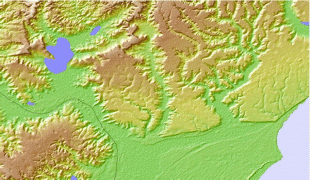
Map - Campo Grande (Campo Grande)
Map


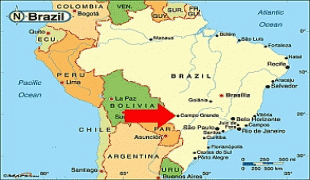

Country - Brazil


Currency / Language
| ISO | Currency | Symbol | Significant figures |
|---|---|---|---|
| BRL | Brazilian real | R$ | 2 |
| ISO | Language |
|---|---|
| EN | English language |
| FR | French language |
| PT | Portuguese language |
| ES | Spanish language |